
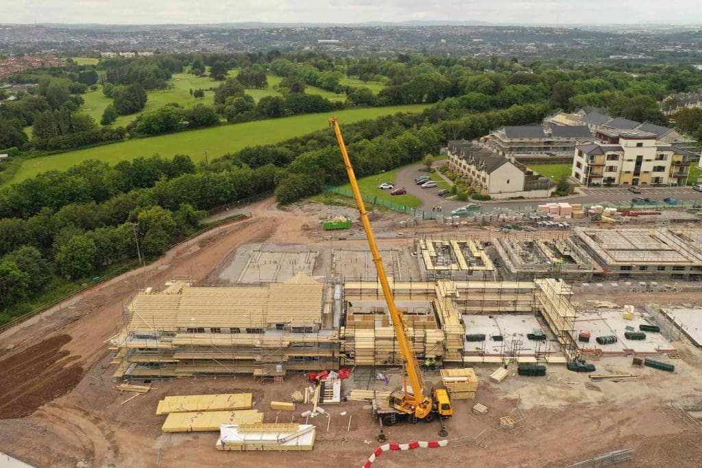
Behind the lens: What goes into a professional timelapse installation?
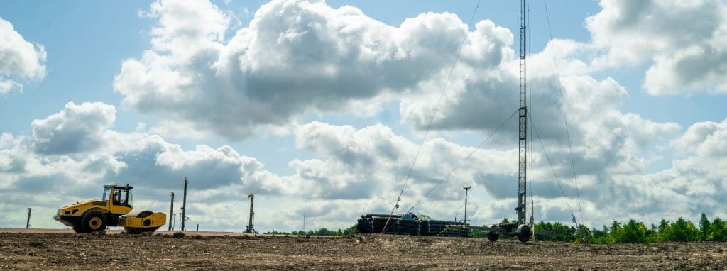
Timelapse footage offers a compelling way to capture the story of a construction project from beginning to end. At Sky Revolutions, we’ve delivered timelapse solutions for everything from single builds to major multi-year infrastructure projects. But behind every smooth, high-quality sequence is a carefully executed, professional timelapse setup – and there’s more to it than […]
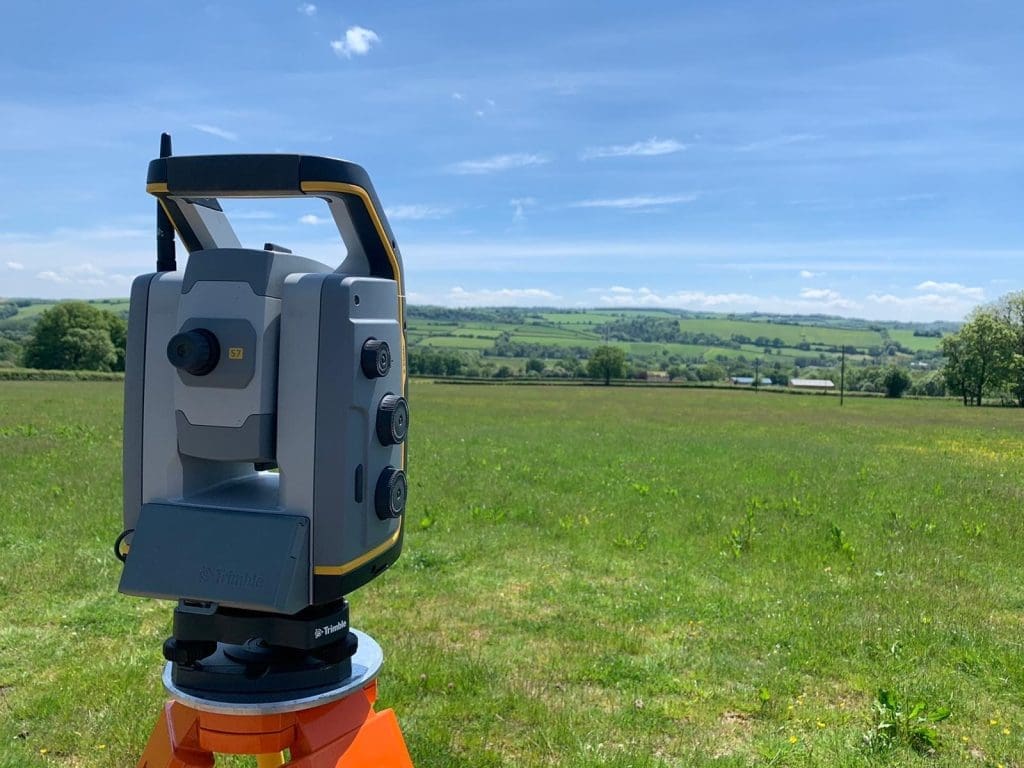
How does drone mapping compare to traditional surveying methods?
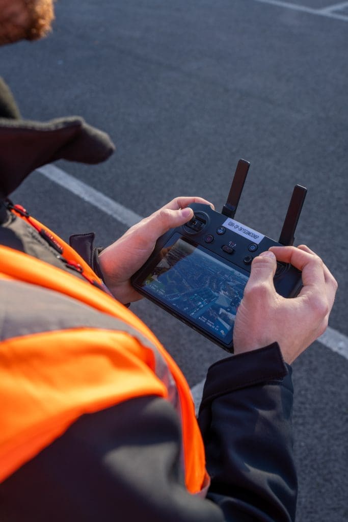
Surveying is a vital part of construction, infrastructure, and asset management. Traditionally, land surveys have been carried out using tools such as total stations, GNSS equipment, and levels. While these methods remain trusted and widely used, drone mapping has emerged as a powerful alternative – especially when projects demand speed, scale, and enhanced safety. In […]
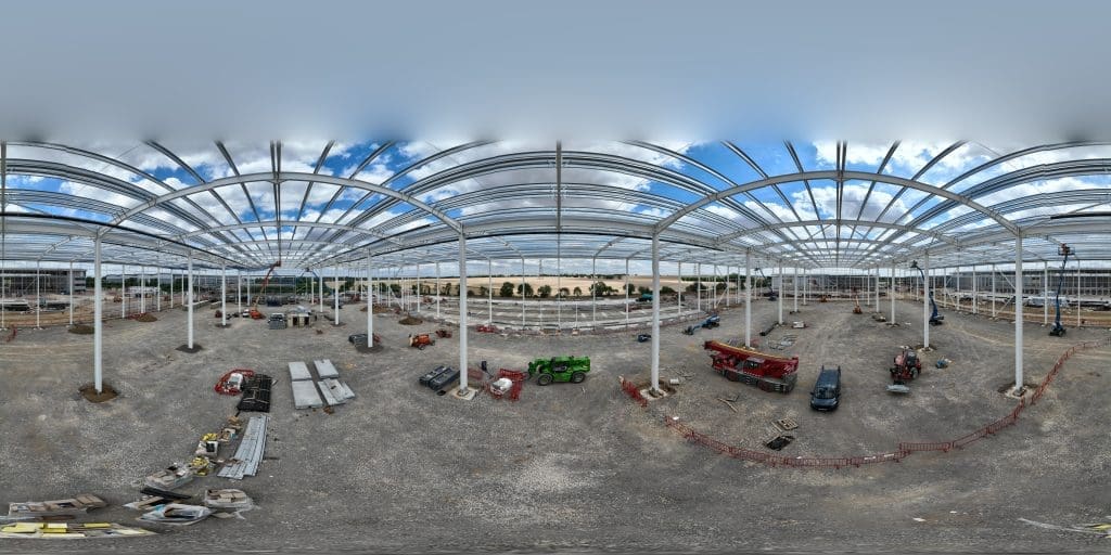
How do 3D virtual tours enhance logistics facility management?
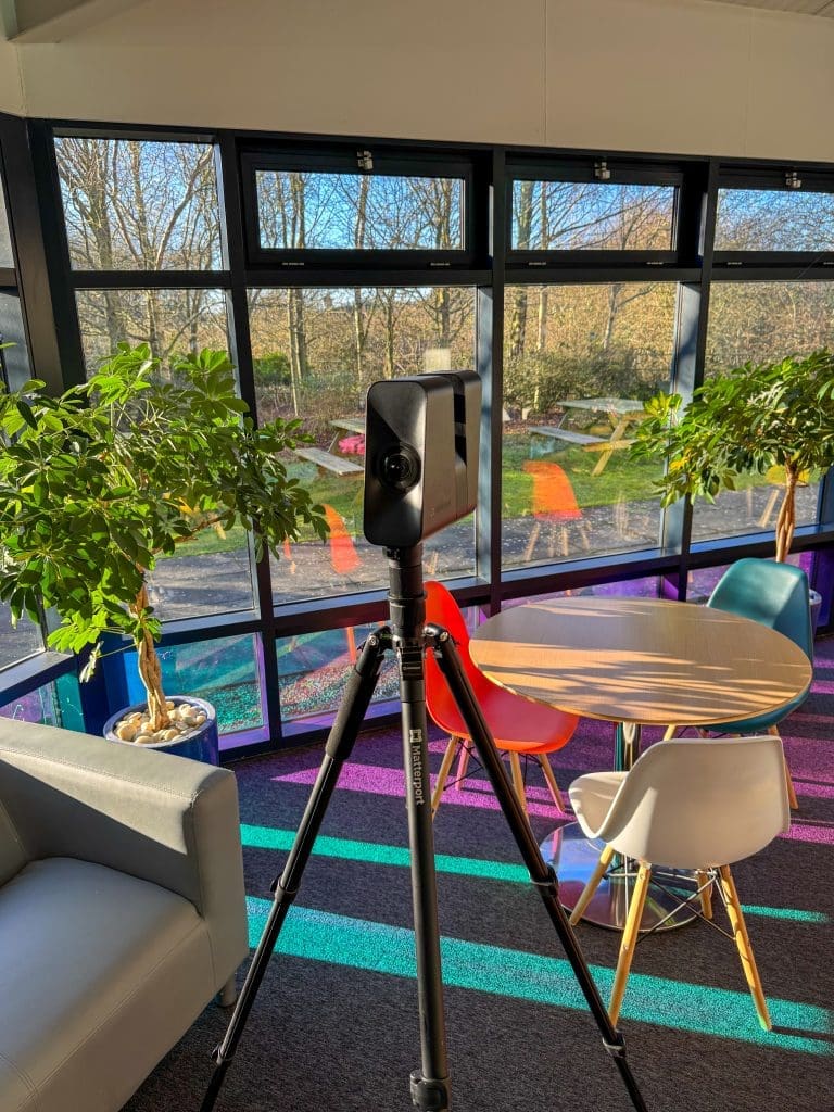
In the fast-paced logistics industry, efficient facility management is essential for maintaining smooth operations and meeting tight deadlines. One technology transforming this space is the use of 3D virtual tours. These immersive digital walkthroughs offer a powerful way to visualise logistics facilities in real time, providing multiple benefits that improve oversight, operational efficiency, and remote […]
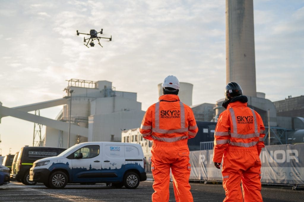
How Sky Revolutions supports the energy industry
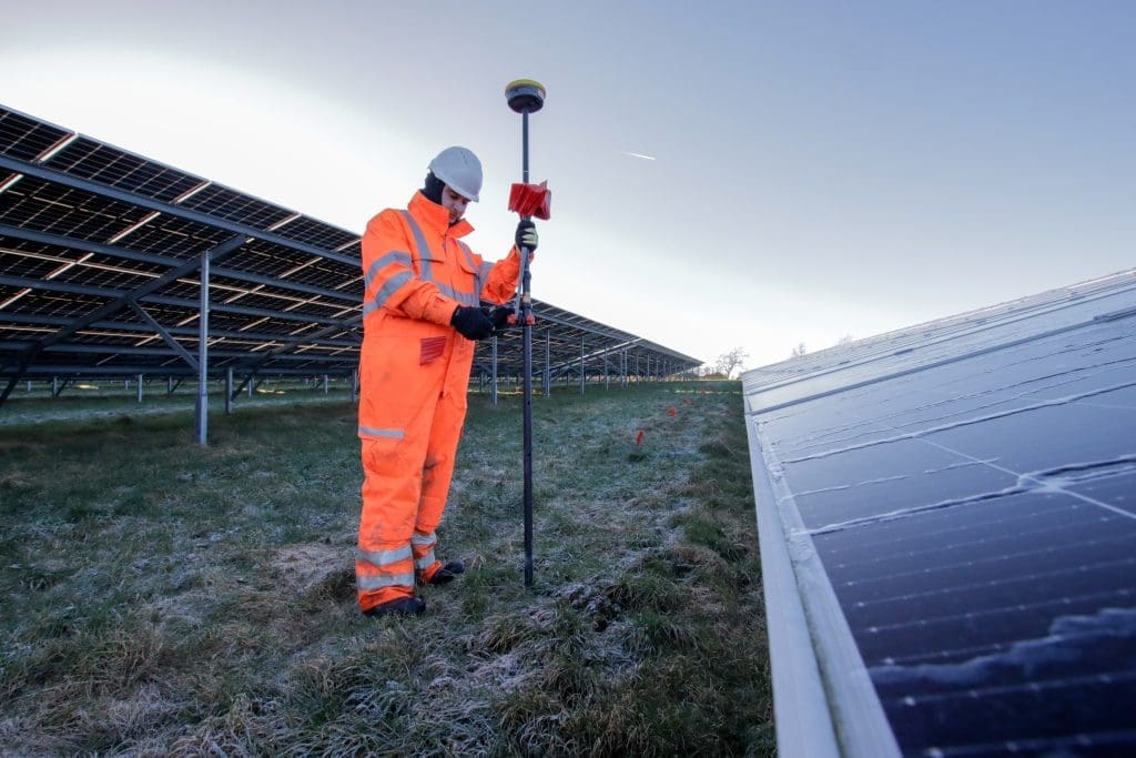
The energy industry depends on precision, safety, and real-time data to maintain efficient and reliable operations. At Sky Revolutions, we support this vital sector with drone-based surveys, thermal imaging, and setting out services that reduce risk, improve outcomes, and support the transition to sustainable energy. Our expertise spans aerial surveying, setting out, and thermal inspections […]
5 questions developers should ask about site surveys
When planning any construction or land development project, site surveys are among the most critical early steps. Accurate and comprehensive site survey data forms the foundation for design, planning permissions, and construction. For developers, commissioning the right survey with the right provider can save time, money, and headaches further down the line. However, not all […]
Measured building surveys for heritage projects: Balancing accuracy and sensitivity

Heritage projects require a unique approach to building surveys – one that balances precision with deep respect for the past. When working with listed, historic, or conservation architecture, accuracy is essential – but so is protecting the fragile fabric and story of the building. At Sky Revolutions, we provide measured building surveys for heritage projects, […]
A beginner’s guide to aerial surveying
If you’re new to aerial surveying, you’re in the perfect place. As drone technology becomes increasingly accessible, more industries are exploring its potential to capture fast, reliable, and cost-effective site data from above. This beginner’s guide to aerial surveying explains what it is, why it’s rapidly becoming a go-to tool for various sectors, and how […]
How Sky Revolutions supports the logistics industry
Logistics moves fast. It has to – as demand for warehouse space grows and supply chains stretch further than ever; developers and contractors are under pressure to deliver large-scale projects at speed. That pace doesn’t leave much margin for error. Staying in control of a live construction site – or running an operational logistics facility […]
Demolition filming: Capturing power, precision and progress
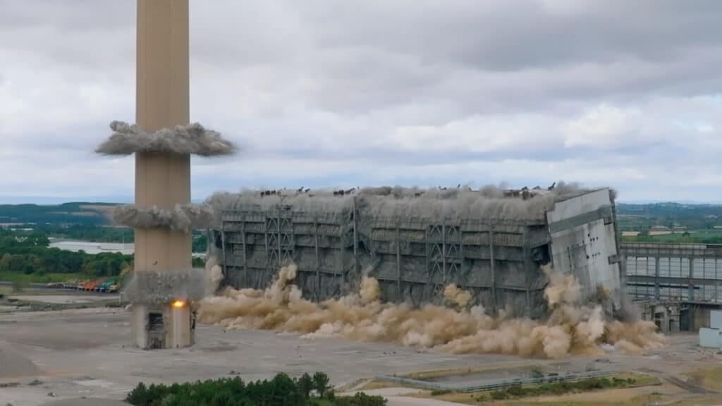
There’s something undeniably powerful about a demolition project. But behind every dramatic collapse is a carefully planned operation – precise, controlled, and filled with moving parts. Capturing that story from start to finish requires more than a standard camera. That’s where demolition filming comes in. Whether you’re monitoring progress across a long-term dismantling project or […]
A guide to topographic surveys
Understanding the layout and features of a site is a critical first step in any construction or development project. Topographic surveys, also referred to as land surveys, site surveys, or terrain mapping, play a vital role in this process, offering detailed insights into the physical characteristics of a given area. Whether you’re planning a commercial […]