
How does drone mapping compare to traditional surveying methods?
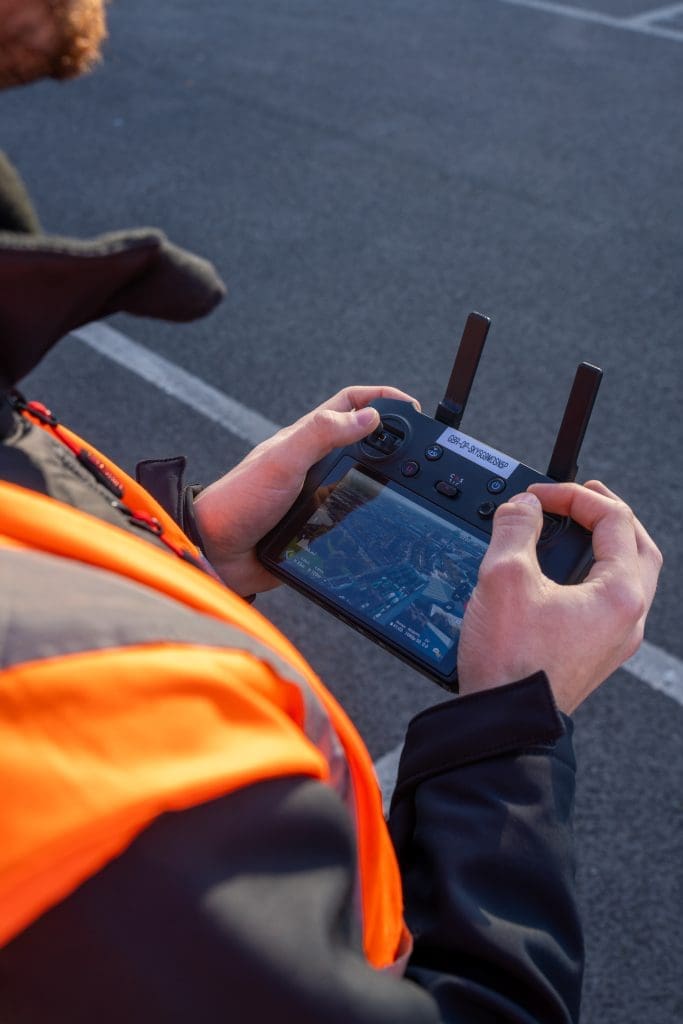
Surveying is a vital part of construction, infrastructure, and asset management. Traditionally, land surveys have been carried out using tools such as total stations, GNSS equipment, and levels. While these methods remain trusted and widely used, drone mapping has emerged as a powerful alternative – especially when projects demand speed, scale, and enhanced safety. In […]
5 questions developers should ask about site surveys
When planning any construction or land development project, site surveys are among the most critical early steps. Accurate and comprehensive site survey data forms the foundation for design, planning permissions, and construction. For developers, commissioning the right survey with the right provider can save time, money, and headaches further down the line. However, not all […]
A beginner’s guide to aerial surveying

If you’re new to aerial surveying, you’re in the perfect place. As drone technology becomes increasingly accessible, more industries are exploring its potential to capture fast, reliable, and cost-effective site data from above. This beginner’s guide to aerial surveying explains what it is, why it’s rapidly becoming a go-to tool for various sectors, and how […]
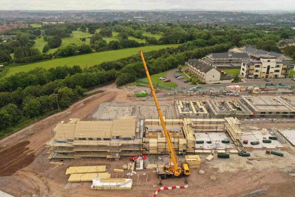
The benefits of aerial surveying for construction projects
Aerial surveying with drones is rapidly transforming construction in the UK. A 2024 report found that 64% of UK construction firms (with 50+ staff) now use drones for site surveys – up from just 22% five years ago. Why? Because drones offer powerful construction survey solutions: they capture high-resolution images and data over entire sites […]
An Introduction to Drone Surveying Services in the UK
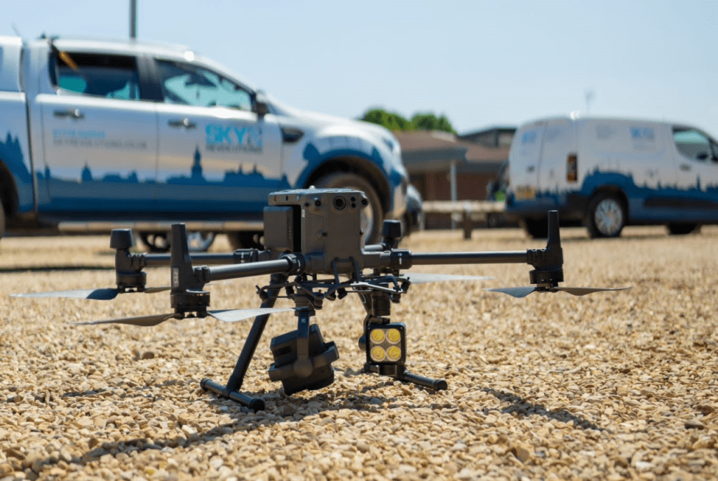
Surveying is evolving, with drones leading the way. Across the UK, professionals are turning to drone survey services for faster, safer, and more accurate data collection. This shift is reshaping industries, such as construction, where efficiency, safety, and cost-effectiveness are key. Our introduction to drone surveying services will help you navigate this growing field, covering […]