
How does drone mapping compare to traditional surveying methods?
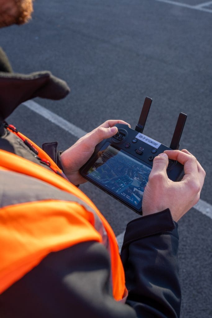
Surveying is a vital part of construction, infrastructure, and asset management. Traditionally, land surveys have been carried out using tools such as total stations, GNSS equipment, and levels. While these methods remain trusted and widely used, drone mapping has emerged as a powerful alternative – especially when projects demand speed, scale, and enhanced safety. In […]
A beginner’s guide to aerial surveying

If you’re new to aerial surveying, you’re in the perfect place. As drone technology becomes increasingly accessible, more industries are exploring its potential to capture fast, reliable, and cost-effective site data from above. This beginner’s guide to aerial surveying explains what it is, why it’s rapidly becoming a go-to tool for various sectors, and how […]